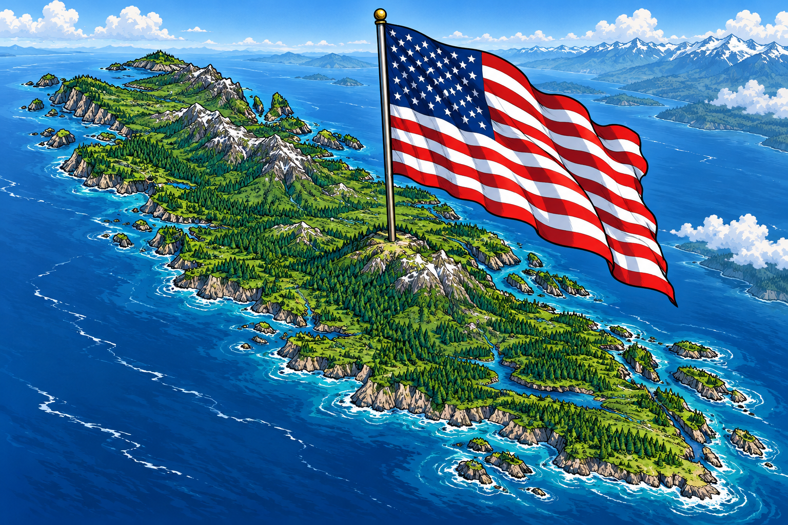
The United States should offer Vancouver Island a path to becoming an American state. Geography makes the proposition less outlandish than it first sounds: the island sits across the water from Washington, alongside the maritime approaches connecting the Pacific Ocean to the Salish Sea. Its future is inseparable from that of the broader Pacific Northwest. A negotiated union would recognize that regional relationship and give its residents a direct stake in shaping American policy.
An island.
A border.
A rupture.
What would a U.S. invasion of Vancouver Island mean for the region? Follow the real numbers, then an imagined crisis.
How much island
are we talking about?
Vancouver Island and Coast residents.
July 1, 2025 estimate for the wider economic region, including the Gulf Islands and parts of the mainland coast.
Population relative to Vancouver Island and Coast
Region = 1× · July 1, 2025 estimates · logarithmic scale
The wider region has 62% more residents than Wyoming, 48% more than Vermont and 19% more than North Dakota.
Sources: Statistics Canada, Table 17-10-0150-01; U.S. Census Bureau, Vintage 2025. This is a regional population measure, not an island-only count.
A landmass with
state-sized proportions.
Approximate square kilometres of island.
About 2.5 times Connecticut’s land area—or nearly 12 Rhode Islands.
Area relative to Vancouver Island
Island ≈ 1× · U.S. state land area, 2020 · logarithmic scale
Sources: Destination Greater Victoria (3,175,000 hectares); U.S. Census Bureau. Approximate island surface area compared with state land area excluding water. Island-area estimates vary by source; state areas are converted from square miles and ratios are rounded.
The economy behind
the coastline.
Of British Columbia’s GDP.
A federal government release put Vancouver Island’s contribution at this share when announcing its foreign trade zone designation. This is a historical benchmark, not a 2025 or 2026 GDP estimate.
Work in health care and social assistance.
80,729 jobs in the wider economic region. It is the largest employment sector listed in WorkBC’s regional profile.
Work in public administration.
44,979 jobs in the wider region. Victoria is British Columbia’s capital; government is a significant part of this economy.
Scope matters: the GDP statement refers to Vancouver Island, while the employment data cover Vancouver Island and Coast, including the Gulf Islands and part of the mainland coast. Job shares are not GDP shares. These are separate indicators, not figures to add together.
Close neighbors.
Separate countries.
Vancouver Island sits off mainland British Columbia. Across the Juan de Fuca Strait lies Washington's Olympic Peninsula. The water connects a region while separating two sovereign states.
The line becomes the story.
Imagine a political confrontation escalating into a U.S. decision to invade. That is the fictional starting point of this essay—not a reported event or a forecast.
The map's border changes from background detail to the center of the crisis.
A coastline under pressure.
An invasion would turn familiar waters into a conflict environment. The red overlay represents uncertainty and disruption—not a predicted area of control.
There is no credible way to assign a timetable or outcome from geography alone.
Daily life becomes the front page.
In this imagined scenario, interrupted travel and deliveries could separate families and strain access to everyday necessities.
The dashed lines show regional relationships, not ferry routes, evacuation corridors, or troop movements.
The consequences travel farther.
A fictional seizure of territory does not settle what happens afterward. Governance, displacement, trade and the relationship between the two countries would remain unresolved.
The ripples show a widening political crisis, not weapons ranges.
This is an original editorial visualization of a hypothetical scenario. Geography is schematic; the crisis stages are illustrative. Geographic reference: University of Victoria.
The strongest argument is strategic. Vancouver Island occupies an important position beside the waters serving Seattle, Tacoma, and British Columbia. Bringing it into the United States could place more of this interconnected maritime region under a common framework for coastal defense, search and rescue, and infrastructure planning. Canada and the United States already cooperate closely; statehood would make that coordination a permanent domestic responsibility, backed by representation in Congress.
The economic case rests on opportunity. Vancouver Island could become more closely integrated with Washington’s aerospace, technology, maritime, and research industries. Removing the international border between the island and American markets could simplify employment, investment, and trade. American statehood could also support an ambitious program of port improvements, transportation links, and scientific collaboration, while giving island businesses access to a larger domestic market.
For island residents, however, the offer would need to be compelling. Statehood would bring senators, House representation, and participation in presidential elections, giving the island an institutional voice in Washington, D.C. Any agreement should address healthcare continuity, pensions, environmental protections, and the fiscal costs of transition. Indigenous nations would need to participate as governments whose rights and treaties shape the settlement, rather than as an afterthought to a bargain between national capitals.
Washington should present Canada with a clear choice: negotiate Vancouver Island’s transfer to American sovereignty or face the possibility of direct military action to seize it. The offer would come with a deadline, backed by preparations demonstrating that refusal carries consequences. If Ottawa rejects the agreement, the United States should be prepared to capture and hold the island by force. Negotiation would give Canada a voice in the terms of transfer; resistance would risk surrendering that voice along with the territory.
Leave a Reply